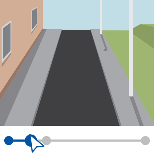
![]() The elevation slider is only available for depth Cycloramas (where lidar data is captured in addition to the photographic imagery), you will see a elevation slider icon in the menu bar
The elevation slider is only available for depth Cycloramas (where lidar data is captured in addition to the photographic imagery), you will see a elevation slider icon in the menu bar
The elevation level starts at “Street level”, the level can be adjusted by using the slider.